
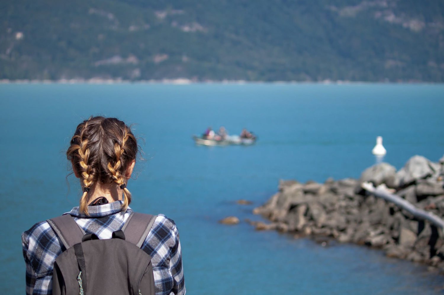
If you're looking for an unspoiled day hike from Vancouver to the top of a mountain with 360-degree views, Leading Peak on Anvil Island is perfect. It's worth the effort to get to and hike up. This guide will show you how.
The Harder to Get To, The Better the Hike
Going for a scenic, secluded day hike near Vancouver isn't as easy as it used to be. Thanks in large part to Instagram, most of the "top" trails are teeming with selfie-seekers.
You have two options to get away from the selfie seekers and have a beautiful day hike to yourself: A) Go when it's raining, or B) Put in the extra effort to find and get to a less-Insta-famous hike.
If you choose B), the hike to Leading Peak on Anvil Island should be near the top of your list.
What's to come

What and Where Is Anvil Island?
Anvil Island is the neglected little brother of Bowen and Gambier Islands. Unlike those other two big Howe Sound islands, it has barely any permanent residents and most Vancouver residents haven't heard of it.
But they've seen it.
Anvil Island is less than two kilometers offshore from the famous Sea-to-Sky Highway between Vancouver and Whistler. Between Lions Bay and Porteau Cove, you can't help but see the cone-shaped island with Leading Peak at its apex, 765 meters (2,500 feet) above sea level.
The only permanent establishment on Anvil Island is Daybreak Point Bible Camp. While researching for this post, I discovered you can rent the whole camp or the main lodge! If you can assemble a group of friends—the lodge accommodates 8-18 people and has a minimum bill of a very reasonable $250 a night—it could be an unforgettable experience.
Anvil Island Location and Leading Peak Hike Waypoints
Click here for easy instructions on how to download this map and these points onto your phone.
How to Get To Anvil Island
What keeps the Leading Peak hike from being overcrowded is that there are no public boats to get there. This leaves you with three options:
- Swim. A friend of a friend legendarily cycled from UBC on a BMX bike (!), stripped naked, swam over to Anvil Island, hiked to the top of Leading Peak au natural, then returned the way he came. We advise against this option.
- Kayak. The beach and trailhead of the Leading Peak hike is only a five-kilometer paddle from Porteau Cove. If you're looking to rent a kayak, the nearest places to do so are on Bowen Island or Squamish.
- Boat. You can either befriend someone who owns a boat (as we did) or hire a water taxi.
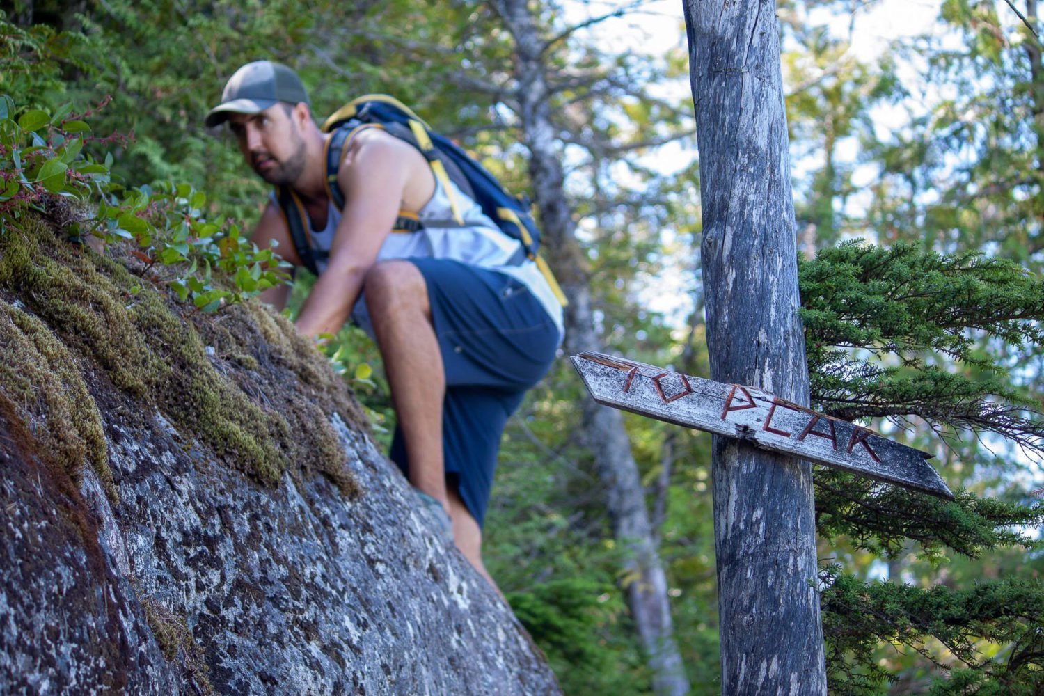
The Trailhead(s)
The main trailhead starts from the Daybreak Point Bible Camp on the south of Anvil Island.
We started from another trailhead which led to a shorter and steeper hike.
Mistakenly, it turns out. An administrator of the camp read this post and pointed out that other trailhead goes the private property. The owner has requested hikers not trespass. You're advised to contact the camp in advance of the hike to get permission and proper directions: 604-764-8569 or info@anvilisland.ca.
The Leading Peak Hike
This information relates to doing the hike from the trailhead on the eastern side of the island. For specific info on the hike from the bible camp, see the links to other hike guides below.
Quick Info
- Elevation Gain: 765 meters
- Hike Duration: Our group took 1.75 hours to get up and the same amount to get back down. We went at a steady pace and didn't take any breaks.
- Trail Style: Out and back.
- Difficulty: Medium. It's steep and there's the odd scramble near the top, but there's no part that requires technical climbing skills.
- Route: While the trail is generally well-marked, we recommend downloading the Gaia GPS App. It's free, so there's no reason not to.
The Beginning
Keep an eye out for pink tape. At least when we went, in August 2018, the whole trail was well-marked.

The Climb
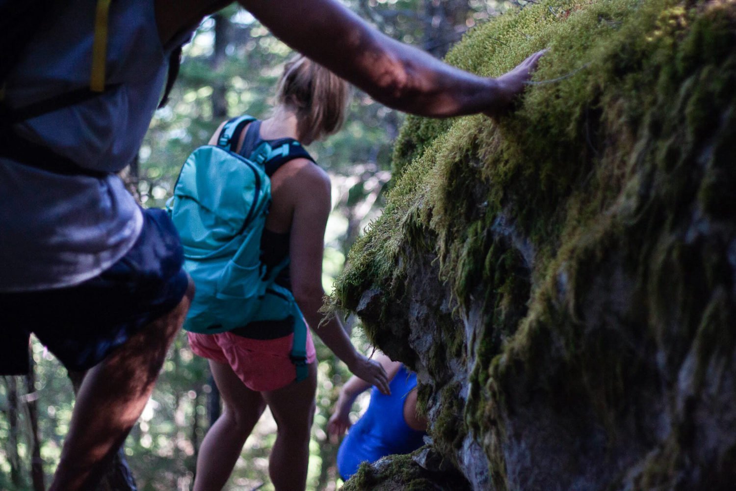
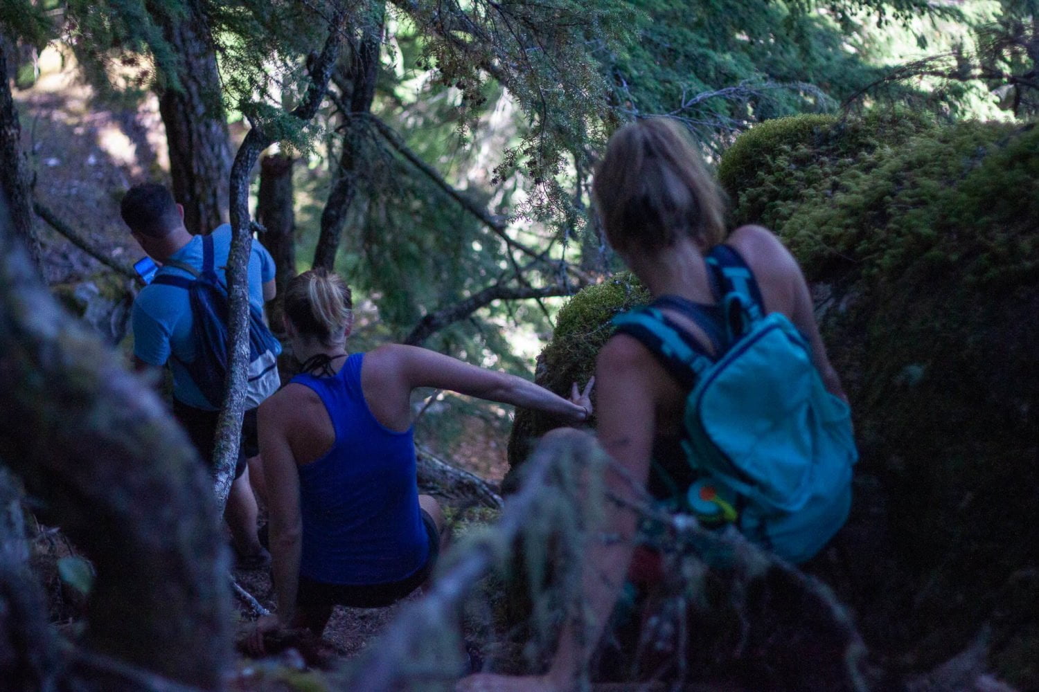
The first half-hour to forty-five minutes a steep climb directly due west through the forest. The trail is similar to what the Grouse Grind was ten years ago before it became "Nature's Stairmaster," steep but with plenty of roots and rocks for footing.

After you've gained about 450 meters in elevation, the trail levels off into a gentle incline and turns north towards Leading Peak. You'll intersect with the trail from the bible camp after about twenty minutes.

As you approach Leading Peak, its intimidatingly steep south face looks impossible to climb unless you have full climbing gear or a death wish. Fortunately, you don't have to have either.

The trail is mostly level as it skirts around the steep western edge of the peak.

Approaching from the north, the incline is much less intimidating. At a couple of points, there are ropes to help you get up, and there are a handful of other spots where you'll need to use your hands to hoist yourself up onto some rocks. For the most part, though, it's not even as steep as the first section of the hike.

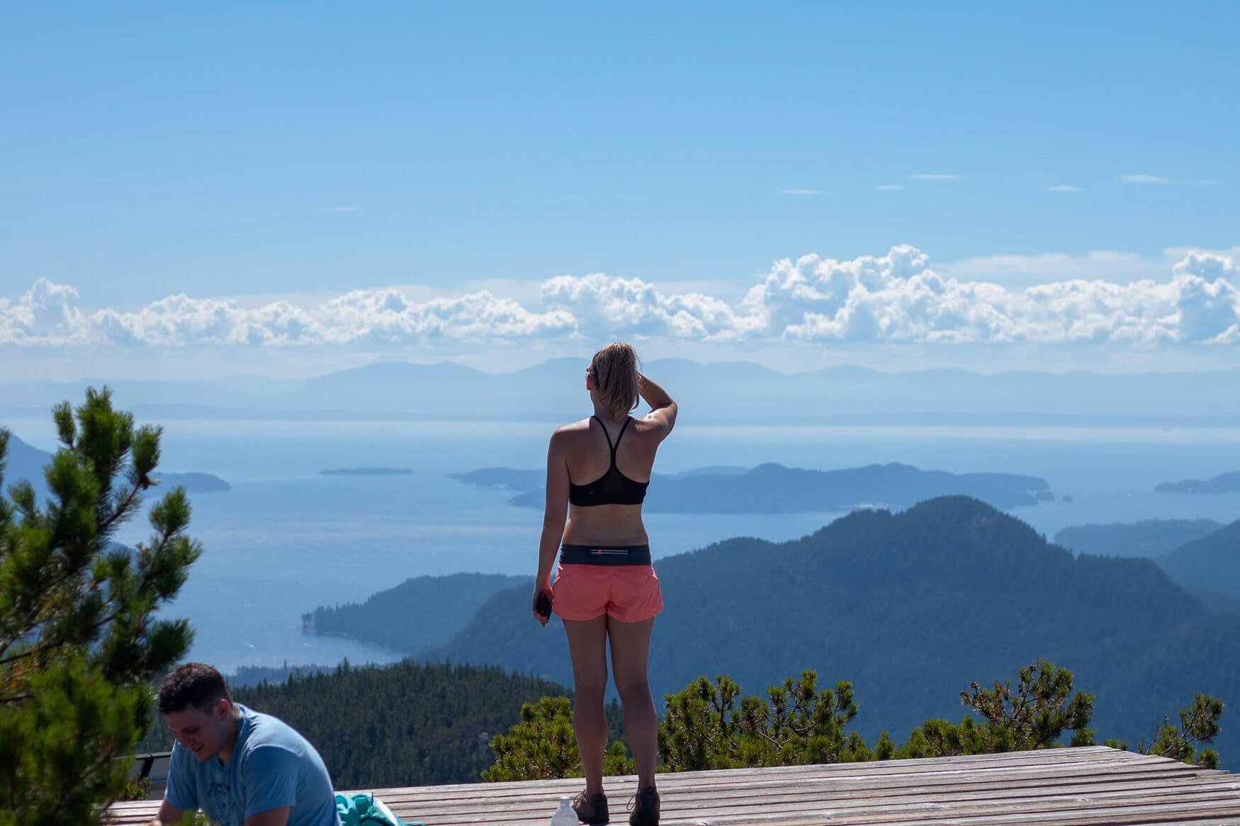
As you approach the peak, the trees start to thin out and the views of Howe Sound and the surrounding mountains open up.
The Reward
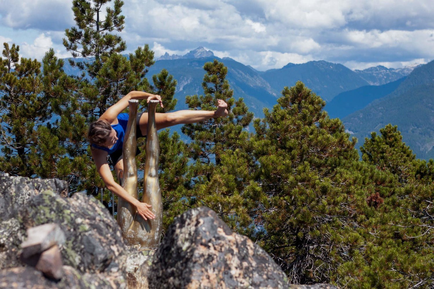
On Leading Peak there's a helicopter pad that's perfect for camping, a couple of tanks, and a somewhat creepy, somewhat sexy (ok, maybe not) golden upside-down lower torso of a mannequin. Oh, and absolutely awesome views in every direction.
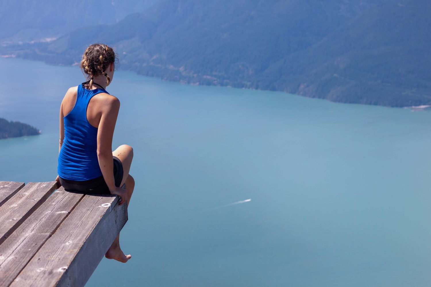
Chill out, take photos, hydrate and refuel.
Have Some Decency
Just because you're alone in the wild doesn't give you the right to act like an animal.
In the comments, Ben from Blackcomb Helicopters and Shannon from Daybreak Point Bible Camp on the island report hikers have been defacing and destroying the helipad, defecating on their work areas, chopping down tress, and stealing from their cache.
Please have some decency so that you and others can continue to enjoy this hike.
The Return
Head back the same way you came. If you came from the eastern trailhead, be careful not to miss the turnoff. Since the most popular trail goes to the bible camp, it can be easy to miss. (We did so, and had to backtrack a few hundred meters.)
As is always the case, the descent is trickier and more treacherous than going up. We had the odd, minor slide and spill. Be cautious and expect it to take the same amount of time to go down as it took you to get up.
Back at your boat, go for a quick dip if the weather's nice, then return to civilization to brag to your friends about your Anvil Island adventure.


Camping On the Peak
You'd be hard-pressed to find a more exclusive and picturesque camping site than the wooden helicopter pad on Leading Peak.
Call Daybreak Point Bible Camp in advance (604.764.8569, info@anvilisland.ca) to let them know your plans, get their permission and, most importantly, ensure nobody else is planning on being there that same night.
Other Online Accounts of Hiking Anvil Island
- A detailed guide by HikesNearVancouver.ca of doing the hike from the bible camp.
- Robert Ballantyne's recap of doing the hike from the bible camp with a group of older people.
- Another brief recap of the hike done from the bible camp with some beautiful photos of camping on the helicopter pad up top.
The Adventure Continues
For another less-traveled but more-than-worth-exploring hike on the Sea-to-Sky corridor, check out our guide to hiking Brandywine Meadows and Moutain. You won't need a boat this time, but you might want a solid SUV.
And if you're looking for things to do back in Vancouver, you've come to the right spot. Kim and I are proud, born-and-raised Vancouverites, so we want you to have an unforgettable visit to Vancouver. And we have lots and lots of tips to share to help you do so:
- Our guide to getting to know Vancouver for first-time visitors
- Vancouver travel tips that answer your questions before you ask them
- Our favorite non-touristy things to do in Vancouver
- Checklist of things everyone needs to do in Vancouver's summer
- 8 only-in-Vancouver dining experiences
- A guide to all the Vancouver beaches (some of which are great for doing rock workouts)
If you still have a question after reading all of these posts, please ask us in the comments below. If you had a blog, you'd appreciate getting comments, questions, and feedback from your readers too, so do us a favor and leave us a note.


I see you found the legs. Good to know they were worth bringing up.
You're the person behind the mystery mannequin legs!? I'd love to hear the story behind that and what other, um, artwork you may be responsible for.
I see that you have an article describing a hike to the peak on Anvil island. Please advise your readers that the Helipad on top is a private, registered helipad that requires access at all times during daylight. Our equipment cache has been opened and item used, parts of the helipad have been cut up and burned, the very slow growing trees there have also been cut and used as firewood. We have discovered piles of human faeces around the work area at the summit. The radio equipment there emits much harmful, high frequency radiation which occurs both day and night.
Please include this information on your website, promote responsible backcountry usage.
Thank you,
Ben Hawkins, Blackcomb Helicopters, Squamish 604 898 1067
I'm really sorry to hear this, Ben. I've updated this post to specify that people have some respect, which obviously should be common sense but unfortunately doesn't seem to always be the case.
Thank you for adding the information to your site. We recognise that we cannot stop people accessing the site, but wherever you go in the back country, be respectful of the flora, fauna and any infrastructure that is there. The anvil site site also acts as a radio repeater for Lions Bay Search and rescue.
Yours,
Ben Hawkins
I have been up once a year for the past three years. We always inform the bible camp caretaker and have received a warm welcome from their staff, who appreciate that we follow their rules. At the summit, it does seem like there has been some vandalism of the equipment and helipad. That's a huge shame. Influencers have been giving this quiet place a little too much attention, IMHO. Pack out what you pack in – and that includes your waste. Just bring a pack of dog poo bags and you're all set.
Hello!
I'm the administrator from Daybreak Point Bible Camp. We would like to re-iterate what Ben has said and ask that any hikers be respectful of the helipad and their property. Please remove any waste and do not cut down the trees that are needed up there.
Also, your blog has a couple of inaccuracies. There are year round residents of the island, and the trail that you went cuts through private property that is owned by some of those residents. They have requested that people who would like to do the hike do not do as you do and go through their property, but contact us at the camp to arrange to do the hike through our property.
Thank you for being respectful and please do contact us at the camp if you would like to hike the Leading Peak.
Hi Shannon. Thanks for pointing out the inaccuracies. I've cleaned those up on the post. Please take a look and let me know if there's any other information I can add to make this guide as accurate and helpful as possible.
Thanks for the hike review. I did this hike many times as a camper at Daybreak Point as a young child and early teen. I'm almost 50 now. Good memories … and one bad one.
We were given a small packed lunch as a camper when we did our peak hike (did not know it's called Leader peak until now). It was a bit strenous and slippery as we're all young kids with running shoes. The hike had a small "pond" along the way. We were all extremely thirsty by the time we went up and down and most of us succumbed to the temptation to drink from the scarce creek water/runoff. Needless to say, this hike was usually on a Friday and we went home on Saturday … and the diarrhea would set in Saturday night from Beaver fever. Yay, lovely memories.
additionally, there was another overnight during the week at "north bay" which was on the other side of the island, a rock outcropping that would be isolated when the tide rose which made for a very memorable and interesting evening/morning. Not comfortable … but memorable.
and if my old camp friend … (first name escapes me) Brown, with the suspension eyewear. Sorry man, I never did apologize to you for not going to camp that year … apology is 35 years late … hope you are doing well.
Hey! Love the write up!
But I wanted to clarify something. The trailhead that goes through the Bible camp is private property and you need permission. Where does the trailhead start that your group used start which doesn't go through private property!
Thanks
Olympia
Hey Olympia. It's on the map above. I've been told it goes through private property and that you need permission regardless. I hope you manae to do the hike and enjoy it.
I love hiking Anvil Island's Leading Peak! The views are amazing and the hike is definitely worth it.
I love hiking Anvil Island's Leading Peak! The views are amazing and the hike is definitely worth it.